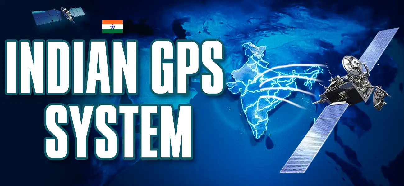
NavIC: A Deep Dive into the Indian GPS System and Its Strategic Importance
The Indian GPS System, officially known as the Indian Regional Navigation Satellite System (IRNSS) or NavIC (Navigation with Indian Constellation), is a groundbreaking achievement in India’s pursuit of technological self-reliance. Developed by the Indian Space Research Organisation (ISRO), NavIC provides accurate positioning and navigation services across India and surrounding regions. This blog explores the significance, features, and applications of the Indian GPS (Global Positioning System), highlighting its role in strengthening India’s strategic capabilities.
For any aspiring defence officer, understanding technologies like NavIC is not just about general knowledge; it’s about appreciating the pillars of modern warfare and national security. Let’s explore what makes India’s own navigation system so special.
What is the Indian GPS System (NavIC)?
The Indian GPS System, NavIC, is an indigenous satellite-based navigation system designed to meet India’s unique geographical and strategic needs. Unlike the Global Positioning System (GPS) developed by the United States, NavIC is a regional system that offers precise location data within India and up to 1,500 kilometers beyond its borders. Launched to reduce dependency on foreign navigation systems, the Indian GPS System ensures greater control and reliability for critical applications, including defence, transportation, and disaster management.
NavIC consists of a constellation of seven satellites, with three in geostationary orbit and four in geosynchronous orbit. These satellites work together to provide real-time positioning, navigation, and timing services. The system’s accuracy, with a precision of better than 20 meters, makes it a vital tool for both civilian and military purposes, cementing its status as a cornerstone of India’s technological advancements.
Why Did India Need Its Own GPS System? The Strategic Imperative
The need for a self-reliant navigation system was keenly felt during the Kargil War in 1999. When the Indian military sought access to American GPS data for the Kargil region to track enemy positions, it was denied. This critical incident highlighted a major vulnerability: dependence on a foreign-controlled system during a conflict could be catastrophic.
This led to the inception of the IRNSS project. The primary goal was to ensure that India’s defence forces have guaranteed access to a secure and precise navigation system at all times, without the fear of it being degraded or denied by another country. It is a powerful symbol of Atmanirbhar Bharat (Self-Reliant India) in the truest sense.
Key Features of the Indian GPS System
The Indian GPS System stands out for its robust features tailored to India’s diverse needs. Here are some highlights:
Regional Coverage: NavIC covers the Indian subcontinent and extends up to 1,500 km beyond its borders, ensuring reliable navigation for neighboring countries as well.
Dual-Frequency Bands: Operating on L5 and S bands, the Indian GPS System offers enhanced accuracy and resistance to signal disruptions, making it ideal for challenging environments.
High Precision: With an accuracy of less than 20 meters for civilian use and even higher precision for restricted services, NavIC rivals global navigation systems.
Indigenous Technology: Developed entirely by ISRO, the Indian GPS System reflects India’s growing expertise in space technology and self-reliance.
Secure Services: NavIC provides encrypted services for authorized users, such as the Indian Armed Forces, ensuring secure and reliable navigation for strategic operations.
These features make the Indian GPS System a versatile and powerful tool, supporting a wide range of applications from navigation to national security.
How Does the Indian GPS System (NavIC) Work?
The NavIC constellation is a sophisticated network of satellites working in perfect harmony. It consists of seven satellites (with plans for expansion) placed in very specific orbits:
Geostationary Orbits (GEO): Three satellites are placed in geostationary orbit, meaning they appear to be fixed at the same point in the sky from the ground.
Geosynchronous Orbits (GSO): Four satellites are in geosynchronous orbit, which are inclined and trace a figure ‘8’ pattern in the sky.
This unique orbital arrangement ensures that at any given time, all seven satellites are visible to a receiver on the ground within the service area. This is a significant advantage over the American GPS, whose satellites are constantly moving across the sky.
Key Differences: Indian GPS System (NavIC) vs. American GPS
While both systems provide positioning data, there are fundamental differences that make our Indian GPS System highly effective for its intended purpose.
| Feature | Indian GPS System (NavIC) | American GPS |
| Coverage | Regional (India + 1,500 km) | Global |
| Accuracy | Superior in its primary service area. Standard accuracy is under 10 metres. | Standard accuracy is around 20 metres. |
| Satellites | A smaller constellation in GEO and GSO orbits, always in view of India. | A larger constellation of over 30 satellites in Medium Earth Orbit (MEO). |
| Signal Frequency | Uses dual frequencies (L5 and S-band), which improves accuracy and reduces signal disturbance, especially in urban areas. | Primarily uses the L-band. |
The dual-frequency signal of NavIC is a game-changer. It helps mitigate errors caused by atmospheric disturbances and provides a more reliable signal in crowded cities and areas with dense tree cover.
Applications of the Indian GPS System
The Indian GPS System has transformed various sectors by providing accurate and reliable navigation data. Its applications include:
Defence and Security: The Indian GPS System plays a critical role in military operations, enabling precise navigation for troops, vehicles, and aircraft. Its encrypted services ensure secure communication and positioning for the Indian Armed Forces.
Transportation: NavIC enhances road, rail, and air navigation, improving safety and efficiency. It supports real-time traffic management and fleet tracking for logistics companies.
Disaster Management: During natural calamities, the Indian GPS System aids in rescue and relief operations by providing accurate location data for affected areas.
Agriculture and Fisheries: Farmers and fishermen benefit from NavIC’s precise positioning for land surveying, crop monitoring, and maritime navigation.
Mobile and IoT Integration: The Indian GPS System is being integrated into smartphones and IoT devices, enabling location-based services for civilian users.
By catering to these diverse sectors, NavIC showcases the versatility of the Indian GPS System in driving innovation and efficiency.
The Future of NavIC and Its Civilian Applications
The Indian GPS System is more than just a navigation tool; it’s a symbol of India’s technological sovereignty. By developing NavIC, India has reduced its reliance on foreign systems like GPS, which can be restricted during geopolitical tensions. The system’s regional focus ensures better coverage and accuracy tailored to India’s unique topography, from the Himalayas to coastal regions. Moreover, NavIC’s secure services empower the Indian Armed Forces, enhancing national security and operational efficiency.
The Indian GPS System also fosters innovation in the private sector. Indian companies are developing NavIC-compatible devices, from smartphones to vehicle tracking systems, boosting the domestic tech industry. With ISRO planning to expand NavIC’s capabilities, the Indian GPS System is poised to become a global benchmark in regional navigation technology.
The Role of Indian Defence Institute in Shaping Future Leaders
Just as India took a strategic step to secure its future with NavIC, you must take a strategic step to secure your career in the armed forces. A deep understanding of such crucial defence technologies can give you a significant edge in your NDA written exam and, more importantly, during your SSB interview.
At the Indian Defence Institute, we pride ourselves on being the Best NDA Coaching in Dehradun. We don’t just prepare you to pass an exam; we mentor you to become a future leader. Our experienced faculty, many of whom are ex-defence officers, provide insights that go beyond textbooks. We focus on holistic development, from academic excellence and physical fitness to building the Officer-Like Qualities (OLQs) essential for success.
Our curriculum is designed to give you a comprehensive understanding of subjects that matter, including the strategic importance of the Indian GPS System and other indigenous defence platforms.
Are you ready to navigate your way to the National Defence Academy?
Join the Indian Defence Institute, the Best NDA Coaching in Dehradun, and let us guide you toward a glorious career serving the nation.
Get Free Counselling